Design Water Levels and Wave Heights for Lowcountry Shoreline Projects
“How high does the water get?” is not answered by the last king tide or a neighbor’s wall. Coastal design starts with a named datum, combined water-and-wave condition, return period, and clear statement of what happens when that condition is exceeded.
Every Lowcountry waterfront project starts with two deceptively simple questions: how high does the water get, and how hard does it hit? A loose answer can put a wall cap, patio grade, or drainage outlet at the wrong elevation. A documented answer gives wall height, embedment, materials, drainage, and finished hardscape a defensible basis.
Coastal engineers build that answer from tides, tidal datums, storm surge, wave climate, records, and probability. The point is not to claim that a structure can defeat every storm. It is to define the condition it is designed to handle and the expected behavior when a rarer event occurs.
1. The Three Questions Every Coastal Design Must Answer
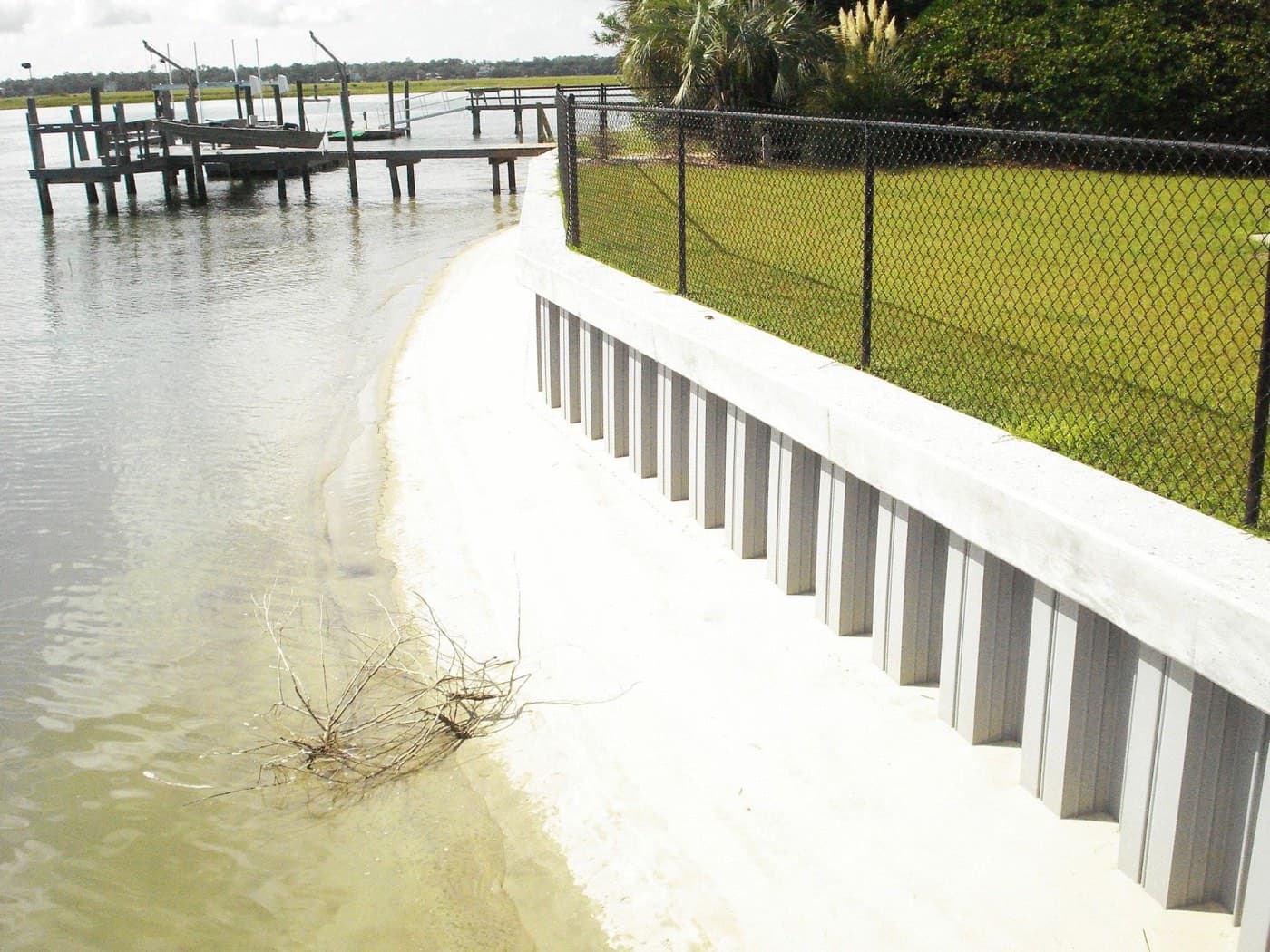
USACE guidance frames design around critical conditions: combinations of tide, surge, and wave conditions that can endanger the project or make it nonfunctional.
- Structural integrity. What extreme condition can the structure resist without unacceptable damage, and what repair risk remains over its service life?
- Functional performance. How well must the structure continue doing its job, and under what probability of flooding, wave transmission, access loss, or property damage?
- Constructibility. What water levels are needed for land access, floating equipment, excavation, placement, curing, and inspection?
“Will it survive a hurricane?” is too vague. Ask: “Which event is this designed for, what is the annual probability of that event, and what is expected when it is exceeded?”
2. Water Level and Wave Height Are Connected
Water and waves cannot generally be selected independently. Water depth controls how large a wave can reach the shoreline before depth-limited breaking, so a higher tide or storm surge can carry larger waves closer to the structure. Breaking waves also raise the local water surface through wave setup.
The governing condition is therefore often neither the highest tide alone nor the largest offshore wave alone. It is a combined event. Coastal design evaluates plausible water-level and wave pairs and checks the combination that produces the critical structural or functional response.
3. Tidal Datums: The Vocabulary of Elevation
“High tide” is not a single universal elevation. Standard tidal datums include mean higher high water (MHHW), mean high water (MHW), mean sea level (MSL), mean low water (MLW), and mean lower low water (MLLW). They are statistical surfaces derived from a long tidal record and apply locally.
- MHW and MHHW describe average high-water conditions and commonly inform land and shoreline planning.
- MLW and MLLW describe average low-water conditions and are important for navigation and construction access.
- Mean tidal range is the difference between MHW and MLW; diurnal range is the difference between MHHW and MLLW.
- Records shorter than the 19-year National Tidal Datum Epoch require correction.
- Tidal range and datum elevations can change substantially over short distances.
For engineering, elevations should be tied through survey benchmarks to a fixed geodetic datum, normally NAVD88 in current U.S. practice. A plan note that says “top of wall = 6.0” is incomplete until it names the datum. Combining a tidal elevation on one drawing with a geodetic elevation on another is a classic and expensive error.
4. Storm Surge and Other Long-Period Rises
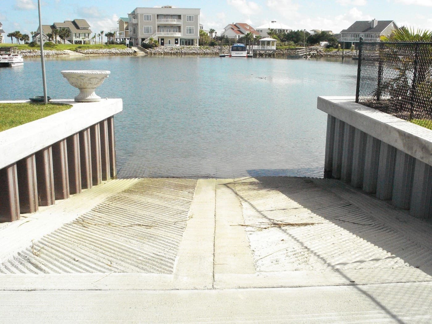
Astronomical tide is only one part of the design water level. Wind and atmospheric pressure create storm surge; breaking waves create setup; seasonal and longer-term sea-level variation shifts the baseline. Tsunami and other settings require their own analysis.
A design water level is therefore assembled from relevant physical components and their statistics. The site, project type, and consequence determine which components matter and how they are combined.
5. What Significant Wave Height Means
Waves in a real sea state form a distribution. Significant wave height, H⅓, is the average height of the highest one-third of waves. It is a standard descriptor, but it is not the largest wave in the storm.
| Fraction of highest waves | Height relative to root-mean-square wave height |
|---|---|
| 0.001 | 2.82 × Hrms |
| 0.01 | 2.36 × Hrms |
| 0.10 | 1.80 × Hrms |
| 0.33 | 1.42 × Hrms |
| 1.00 (all waves) | 0.89 × Hrms |
The Rayleigh-distribution relationships in the manual show why a structure should not be detailed for the average wave. Rare waves within the same sea state can be roughly twice the height of common waves. Shallow water complicates the statistics further because crests become narrower and higher while troughs flatten.
6. Return Period Is Not a Schedule
A return period is the average interval associated with a condition’s annual exceedance probability. It does not mean the event arrives on a timetable. A 100-year condition has a 1% probability of being equaled or exceeded in any year, including the year after it last occurred.
| Exposure period | Chance of at least one 100-year event |
|---|---|
| 1 year | 1.0% |
| 10 years | 9.6% |
| 25 years | 22.2% |
| 50 years | 39.5% |
| 100 years | 63.4% |
Over a 50-year ownership horizon, encountering a 100-year condition is close to a coin flip. That framing leads to a more honest conversation about wall height, freeboard, acceptable overtopping, repair, and the value of the property behind the structure.
Independent probabilities can be multiplied, but extreme water and wave conditions are not entirely independent. Their joint selection requires engineering judgment, physical modeling, and an understanding of the storm mechanisms that create both.
7. Where the Data Comes From
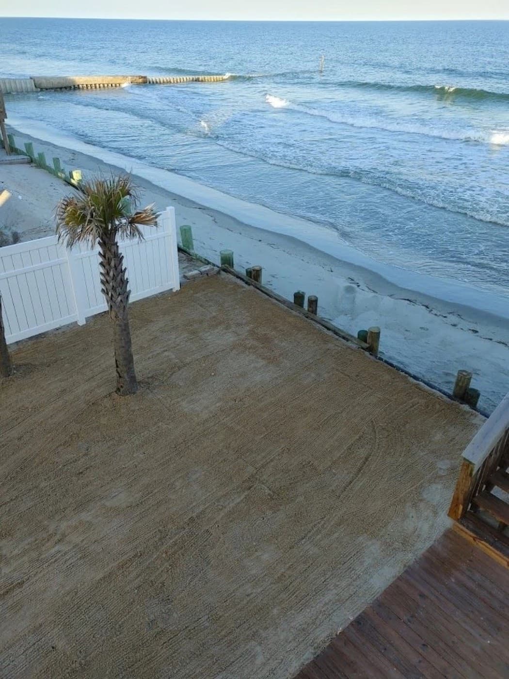
Credible coastal design starts with traceable records: NOAA tide-gage data and benchmarks, NOAA/NDBC buoys and hindcasts, FEMA stillwater elevations and wave analyses, surveyed high-water marks, and site-specific topographic and geotechnical information. Each source carries its own reference datum, period of record, and limitations.
Measurements referenced to different benchmarks are not directly comparable, and short records should not be treated as representative without correction.
8. What This Changes on a Real Lowcountry Project
- Wall and cap elevation: set from a design level tied to survey datum—not relative to a neighbor’s wall.
- Hardscape grade: shape terraces behind the wall for occasional inundation and a safe drainage path.
- Drainage relief: account for water trapped behind a wall as the outside tide falls.
- Materials and fasteners: select for the salt, UV, wet-dry, and splash-zone exposure.
- Freeboard: choose it alongside the return period and explain what exceedance means.
- Documentation: retain elevations, datum, water level, wave condition, and design assumptions for post-storm evaluation.
An open-graded or permeable pavement can recover from occasional inundation better than an assembly that traps water. The finished hardscape and the sheet-pile bulkhead should be designed as one elevation and drainage system.
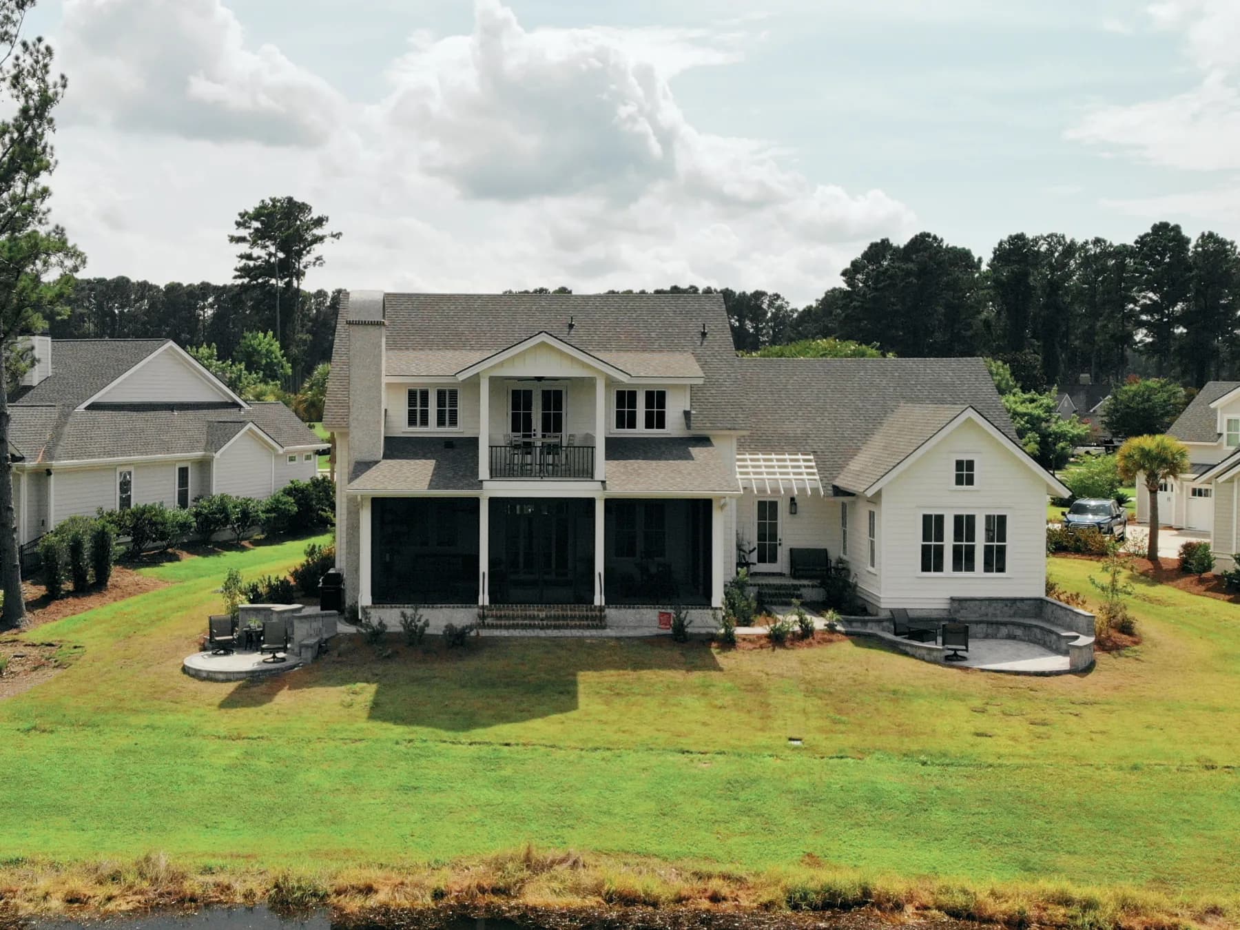
9. How Carolina Paver & Turf Approaches Water-Adjacent Projects
We serve Charleston, Mount Pleasant, Daniel Island, Isle of Palms, Sullivan’s Island, Johns Island, Seabrook, North Charleston, Summerville, Beaufort, Bluffton, and Hilton Head Island. On work near tidal water, we:
- Establish elevation and datum before pricing—surveyed, written, and consistent across drawings.
- Ask which condition the project is being built for and state it plainly.
- Plan hardscape for occasional inundation with free-draining sections and relief details.
- Bring in a licensed coastal or geotechnical engineer where exposure, height, or consequence warrants it.
- Coordinate with SCDES Bureau of Coastal Management and USACE permitting where applicable.
- Keep a project manager on site and close with our Completion of Scope sign-off and 10-year workmanship guarantee.
Our seawall service page explains the construction scope, while our Lowcountry drainage guide covers the upland water-management side of the project.
Frequently Asked Questions
What is a design water level?
It is the project elevation selected from relevant astronomical tide, storm surge, wave setup, long-term water-level variation, and statistical risk. It must be tied to a stated survey datum and a defined design event.
What is significant wave height?
Significant wave height is the average height of the highest one-third of waves in a sea state. It is a statistical descriptor, not the maximum individual wave a structure may encounter.
Does a 100-year storm happen only once every 100 years?
No. A 100-year condition has a 1% chance of being equaled or exceeded in any year. Its chance of occurring at least once is about 22% over 25 years and about 40% over 50 years.
Why must waterfront plans name the elevation datum?
An elevation such as 6.0 has no meaning without its reference. Tidal datums vary by location, while geodetic datums use a fixed national reference. Mixing them can put caps, grades, drains, and structures at the wrong elevation.
Michael Barbieri
Owner, Carolina Paver & Turf
Michael Barbieri brings 10+ years of hardscape sales and construction experience, helping Lowcountry homeowners design patios, driveways, turf, and marine spaces built for coastal conditions.
Related Reading
Keep researching — these guides go deeper on what you read here.
Planning work at the water’s edge?
We can walk the site, review elevations and drainage, and coordinate with the coastal or geotechnical engineer your project requires.